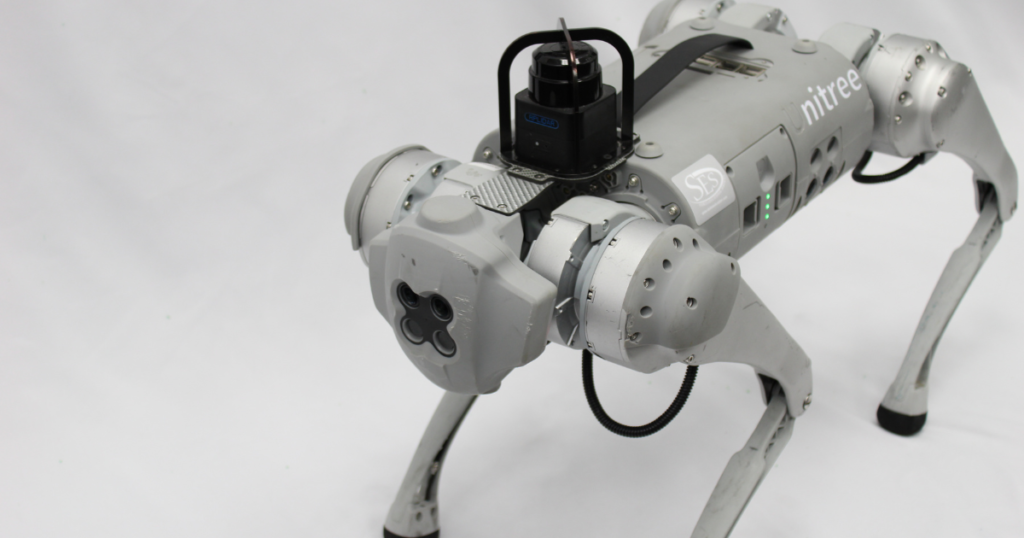
Robots using LiDAR and SLAM

SLAM stands for Simultaneous Localization And Mapping. It is the process of mapping an area while keeping track of the device’s location within that area. This is what makes mobile mapping possible. This allows map construction of large areas in much shorter spaces of time as areas can be measured using mobile robots, drones, or […]

